

Smarter Navigation Charts for Modern Flight Operations.
One subscription. Global coverage. Certified reliability. With EASA DAT Type 1 Certified navigation charts for over 32,000 airports worldwide, Talora delivers a single, comprehensive database supporting all aircraft types. Simplify flight operations with trusted, standardized charts available wherever your mission takes you.
What is Talora?
Talora is an All-In-One Electronic Flight Bag (EFB) designed for modern Airline connected environments and configurable to your needs whether you are a pilot, OCC/Dispatch, Safety Manager or Cabin Crew.
It consolidates operational documentation, navigation charts, flight planning information, weather, manuals, notifications and company-specific applications into one secure, configurable ecosystem. Unlike standalone EFB applications, Talora is designed as a scalable operational platform that connects flight crews with ground operations. Whether supporting pilots in the cockpit, Dispatch and OCC during flight preparation and monitoring, Safety departments managing compliance, or cabin crews accessing operational information, Talora ensures that every user has immediate access to current, validated information through a consistent digital workflow.
The platform’s modular design allows operators to activate only the capabilities they require while seamlessly integrating with existing operational systems. Combined with reliable offline functionality, rapid data synchronization and an intuitive user interface, Talora enables airlines to simplify complex operational processes, minimize manual effort, and enhance collaboration across the entire flight operation.
Key Benefits
Built to meet the demands of today’s aviation industry, Talora combines powerful functionality with an intuitive user experience. Its key benefits help operators improve efficiency, safety and operational awareness across every stage of flight.
Combining a pilot-centered user experience with a modular and scalable architecture, Talora adapts to airlines of every size and supports all aircraft types. The platform provides intelligent, EASA DAT Type 1 Certified navigation charts, a global aviation database covering more than 32,000 airports, enhanced A424 data with integrated NAVLOG and seamless connectivity to all major flight planning systems. By bringing critical operational information into one intuitive platform, Talora enables flight crews and operational teams to work more efficiently, improve situational awareness and make faster, safer and more informed decisions throughout every phase of flight.
Features
Advanced Administration Portal
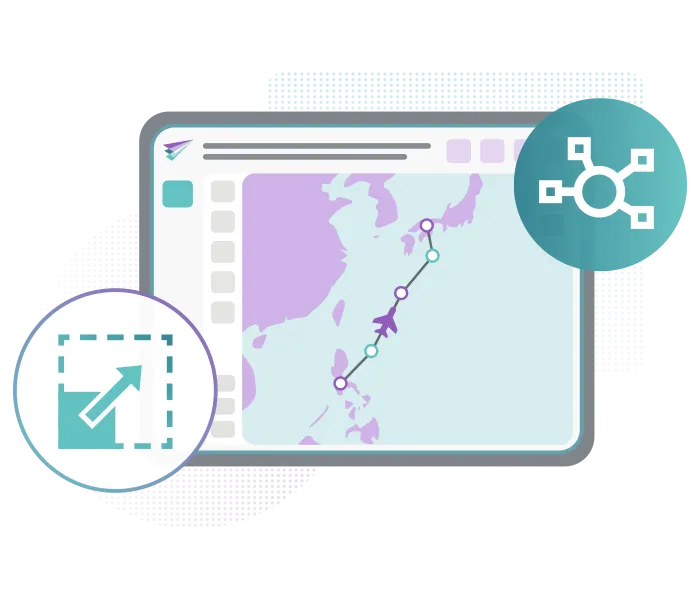
Manage chart access, user roles, and customization through a powerful administration portal designed specifically for airline operations teams.
The portal provides granular control over chart distribution and updates, allowing Flight Operations to define exactly who receives which data and when. Roles can be aligned with real operational structures, ensuring pilots, dispatchers, and administrators always work with the correct information.
Centralized control reduces administrative workload while maintaining full transparency. Every update is traceable, and version consistency across devices is ensured, which is critical for safe and compliant operations.
Full Integration with Flight Planning Systems
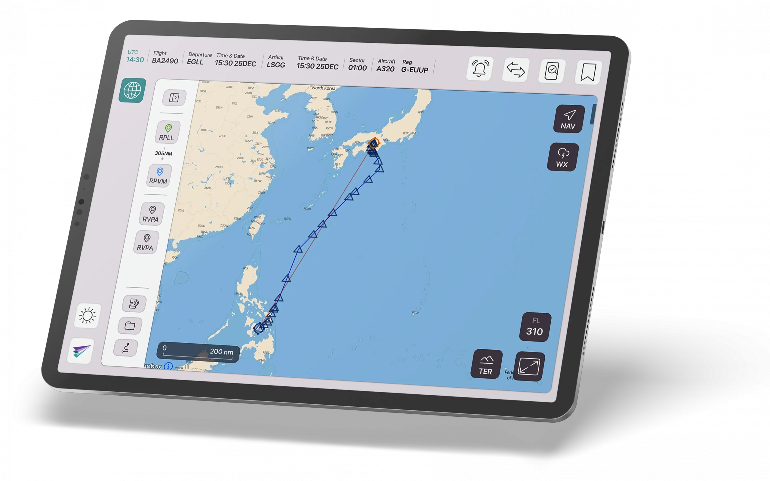
Navigation charts are fully integrated with leading flight planning systems, enabling a seamless data flow between planning, briefing, and execution.
Routes, alternates, and associated charts are automatically connected, removing the need for manual cross-checking or switching between systems. Crews and dispatchers work within a single, consistent environment throughout the entire workflow.
This integration reduces manual input, minimizes the risk of discrepancies, and ensures that all stakeholders operate with the same, up-to-date information at every stage of the flight.
GNSS Spoofing Detection Built-In
Security is a growing concern in modern aviation operations. Talora includes built-in GNSS spoofing detection to identify potential navigation signal interference.
The system continuously monitors positioning data and highlights irregularities that may indicate spoofing or signal degradation. Alerts are presented clearly, allowing crews to quickly assess the situation.
This enhances situational awareness and supports early decision-making when navigation data becomes unreliable, helping to protect overall flight integrity.
EASA DAT Type 1 Certified Charts
Our charts meet the highest regulatory standards, including EASA DAT Type 1 certification.
All data is verified, current, and approved for use in critical flight operations. This ensures that crews are always working with reliable and compliant information.
Compliance is built into the system, allowing operators to meet regulatory requirements without adding additional processes or complexity to daily operations.
Custom Procedures
Operators can define and deploy custom procedures tailored to specific aircraft types, routes, or operational requirements.
These procedures can be embedded directly into the chart environment, ensuring that critical operational information is available exactly where it is needed during briefing and execution.
This flexibility supports safer and more efficient operations, particularly in complex, remote, or non-standard environments where standard charts alone are not sufficient.
Weather Layers
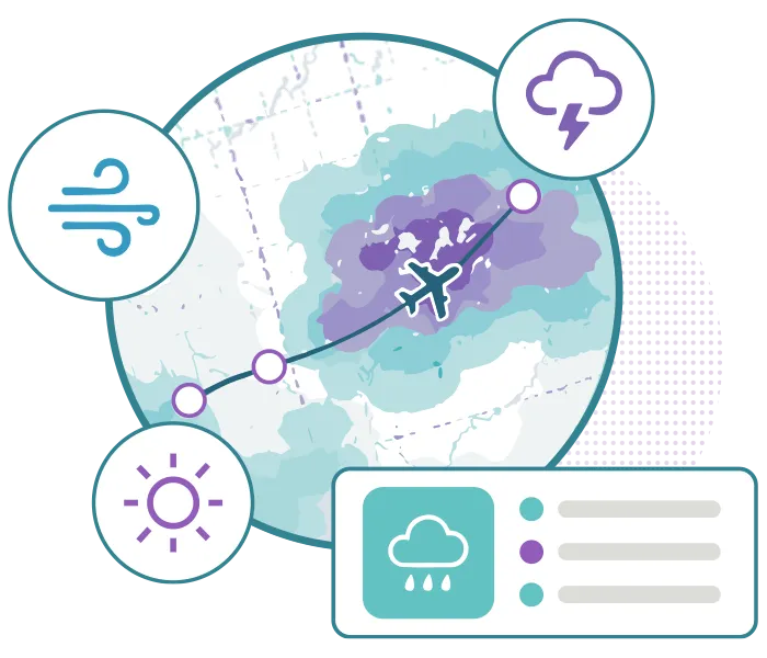
Overlay real-time weather data directly onto your charts to create a unified operational picture. Available layers include rain, snow, hail, lightning, CB tops, turbulence, visibility, icing, and more. These dynamic overlays are displayed in direct relation to routes, procedures, and terrain.
By integrating weather into the chart environment, crews can immediately assess operational impact and adapt to changing conditions in flight without relying on separate tools.
Global Coverage: 32,000+ Airports
Talora provides access to an extensive global charting database covering more than 32,000 airports worldwide. From major international hubs to remote destinations, charts are consistently structured and readily available. This ensures that crews can rely on the same interface and data quality across all operations.
The broad coverage supports full situational awareness and operational readiness, regardless of route structure or geographical region.

NASA Terrain Database
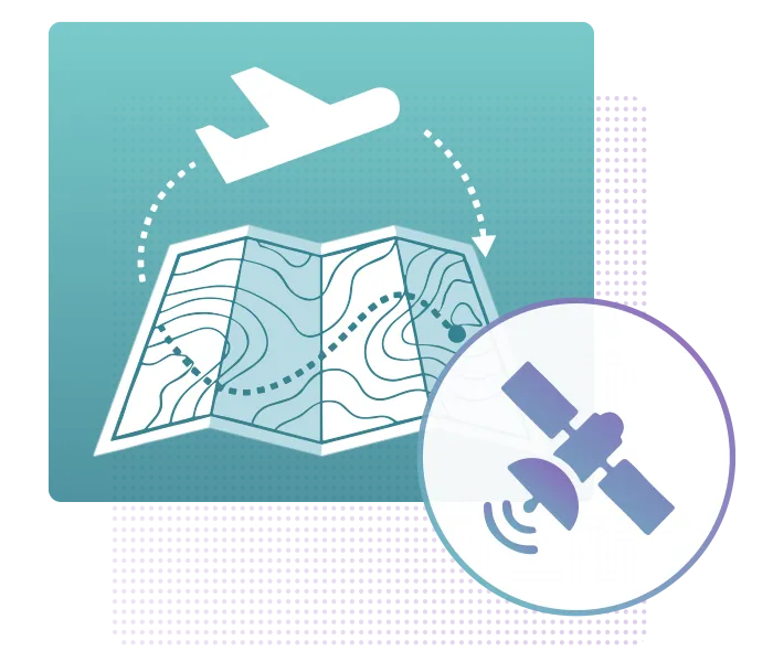
Utilizing the NASA terrain database, Talora charts provide accurate and detailed topographical awareness. Terrain data is seamlessly integrated into the chart environment, allowing crews to clearly understand elevation profiles and surrounding geography during all phases of flight.
This supports the avoidance of terrain conflicts and enables more confident planning of optimal flight paths, particularly in challenging environments.
Modules Within Charts
Talora’s Navigation Charts module is built around a comprehensive suite of integrated tools that simplify every stage of flight preparation and execution. From certified airport and enroute charts to intelligent route visualization, NAVLOG integration, weather overlays, NOTAMs, and airport briefings, every module is designed to provide the right information at the right time. Working seamlessly together within a single interface, these modules reduce pilot workload, improve situational awareness, and support faster, more confident decision-making throughout the entire flight.
Download & Links
See Talora in action and request your demo!
Take the opportunity now and contact our experts to arrange a personal demo appointment.
Explore Navigation FeaturesTalora Module FAQs
Interactive, geo-referenced charts with real-time aircraft positioning, enhancing situational awareness across all flight phases.
Yes. Charts are automatically updated and synchronised, removing the need for manual revisions.
Yes. Charts are fully integrated with documentation, interactive weather map, and EFF’s NAVLOG for a unified operational picture.
Pilots can visualise their exact position on taxiways and runways, reducing the risk of runway incursions and navigation errors.
Yes. High-contrast design and real-time positioning significantly improve usability in challenging conditions.